RAND, MCNALLY & CO.’S INDEXED COUNTY AND TOWNSHIP POCKET MAP AND SHIPPERS’ GUIDE OF ARIZONA
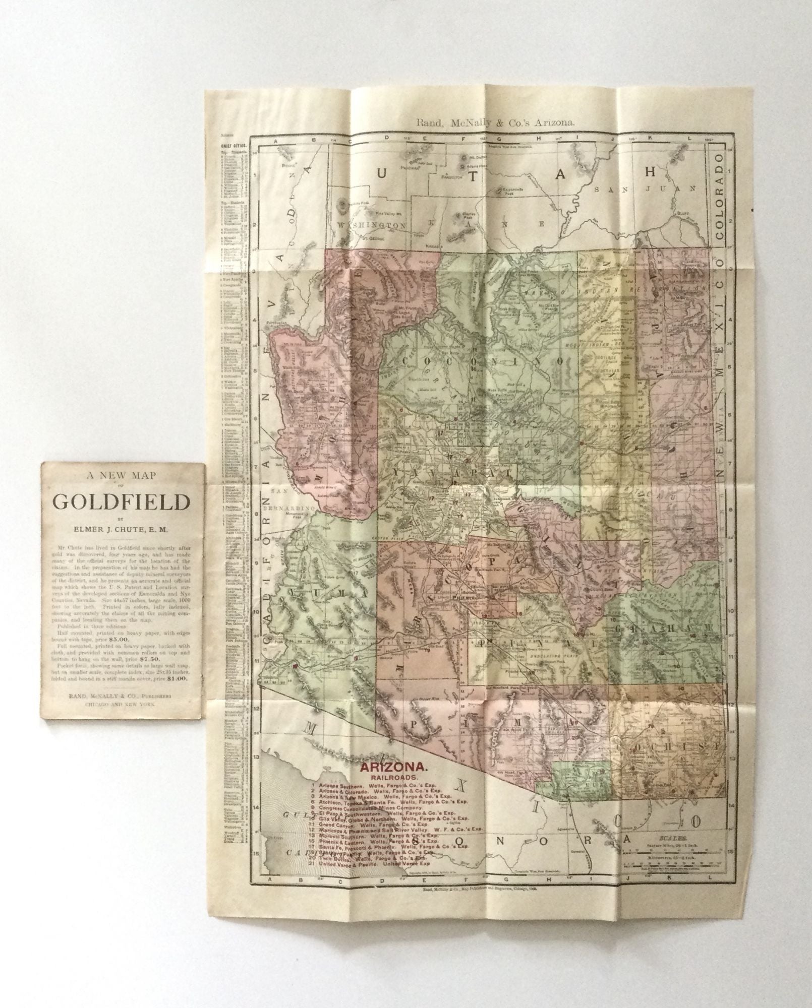
Chicago and New York: Rand, McNally & Co., 1908. Wraps. Uncommon folding map of the Arizona Territory, published four years before statehood. In addition to locating all cities, towns, post offices, railroad stations, villages, counties, islands, lakes, and rivers, it shows in detail the entire railroad system, identifies the nearest mailing point of all local places, and names the express company doing business over each road. The 14” x 21” color map is housed within printed brown paper wrappers (4” x 6 ½”), along with a list of Arizona railroads, a 10-page index, and advertisements for Elmer Chute’s New Map of Goldfield and other Rand, McNally & Co. maps.
[18] p. with the folding map. Original printed brown paper wrappers, bound with three staples. A few very minor creases to the map, with some minor edgewear to the wrappers; otherwise very good. Scarce, OCLC locates no holdings of this 1908 map, with only two of the 1907 issue and just one of the 1909. Very good. Item #74043
Price: $200.00