KENT COUNTY, ENGLAND ARCHAEOLOGICAL MAP OF SAXON RUINS
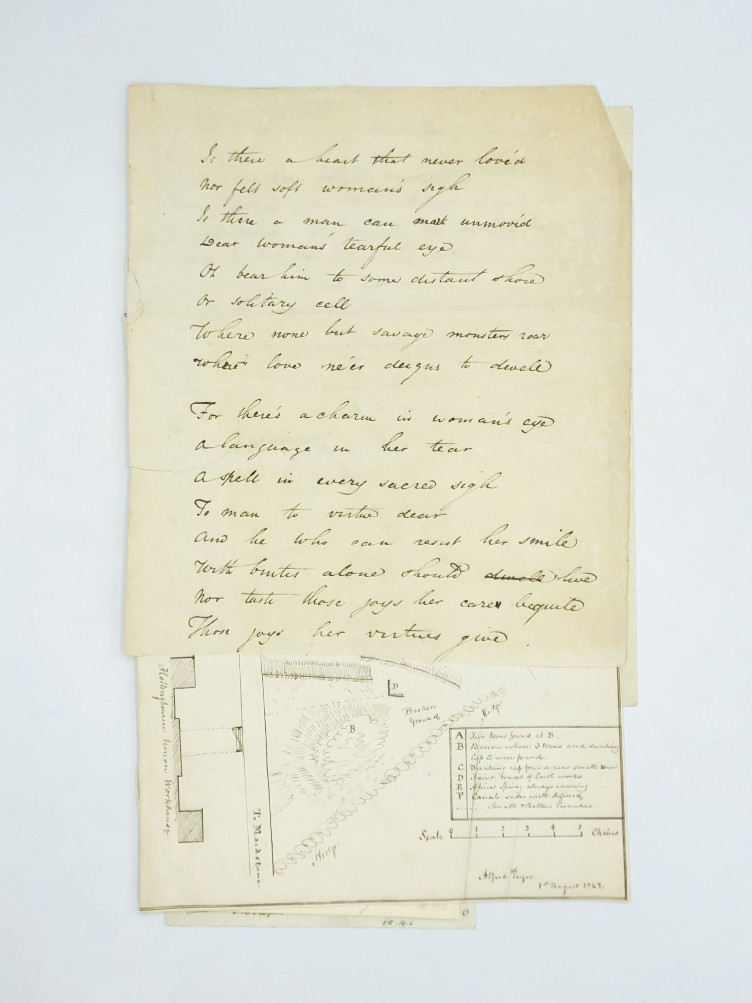
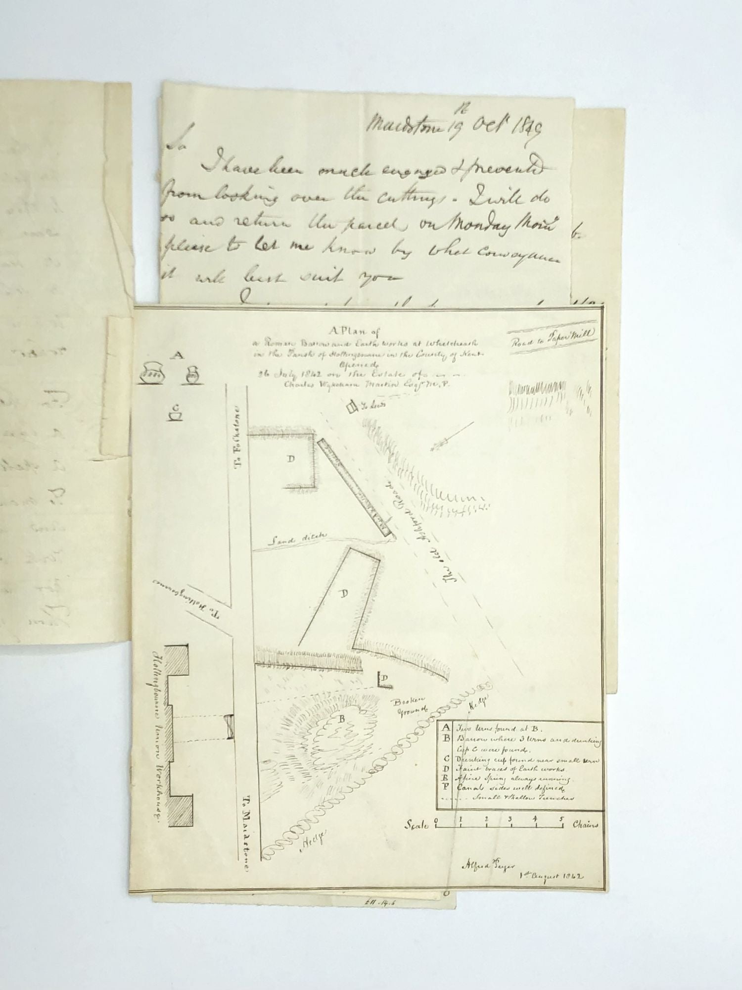
A hand-drawn map entitled “A Plan of a Roman Barrow and Earth Works at White Heath in the Parish of Hollingbourne in the County of Kent Opened 26 July 1842 on the Estate of Charles Wykeham Martin, Esquire” which is signed Alfred Payer and dated August 1, 1842.
White Heath is the site of a Saxon burial which was the subject of a major excavation in 1912. This 1842 map identifies the broken ground, hedge, building and road locations, along with the place where some artifacts were found. The drawing shows that two urns and a cup were excavated, as well as faint braces of earthworks.
According to Volume 65 (1952) of Archaeologica Cantiana, a report about the findings at White Heath was presented to the British Archaeological Association in the proceedings of that society for 1847. It was reported that "Mr. Alfred Pryer exhibited coloured drawings of sixty five beads, discovered at White Heath, Hollingbourne, Kent, in excavating a spot where, a short time since, some Saxon weapons and skeletons were exhumed. The beads themselves have since been submitted to the Council by Mr. Pryer. They are in coloured glass and clay, of various forms and sizes, such as have been so frequently found, especially in this country, in Saxon burial-places." Reporting again, on October 13, 1847, Mr. Pryer exhibited material from Hollingbourne: "a large quantity of glass and clay beads, of various forms and colours, including several in amber, found in Anglo-Saxon graves."
White Heath was the estate of Charles Wykeham Martin (1801-70), an antiquary and English Conservative Party politician who sat in the House of Commons between 1841 and 1870. He was a Fellow of the Royal Society of Antiquaries, a corresponding member of the Academy d'Archeologie de Belgique, and a Fellow of the Royal Statistical Society. He was also a lieutenant-colonel of the 3rd Battalion Kent Volunteers and a Deputy Lieutenant and J.P. for Kent and a J.P. for Hampshire.
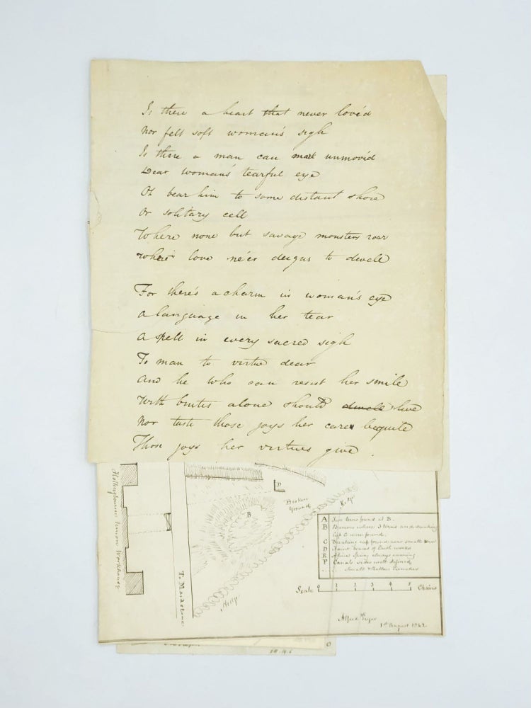
This small archive of papers also includes a holographic letter dated October 1849 concerning some research related to the dig, a five-page document recording tithes in the area, a one-page document listing “visitations to Kent” between 1518 and 1663, a handwritten document which appears to be a tour schedule, and a holographic ode to women. These materials and the map are all gathered together and loosely bound with thread.
The map measures 7 ½” x 9”. Notably, it also marks the location of the Hollingbourne Union Workhouse along the left margin, showing its abutment to the archeological site. The materials are a bit toned, with a closed tear to the ode; otherwise very good. Item #73917
Price: $400.00